Samstag, 2. Juli 2022
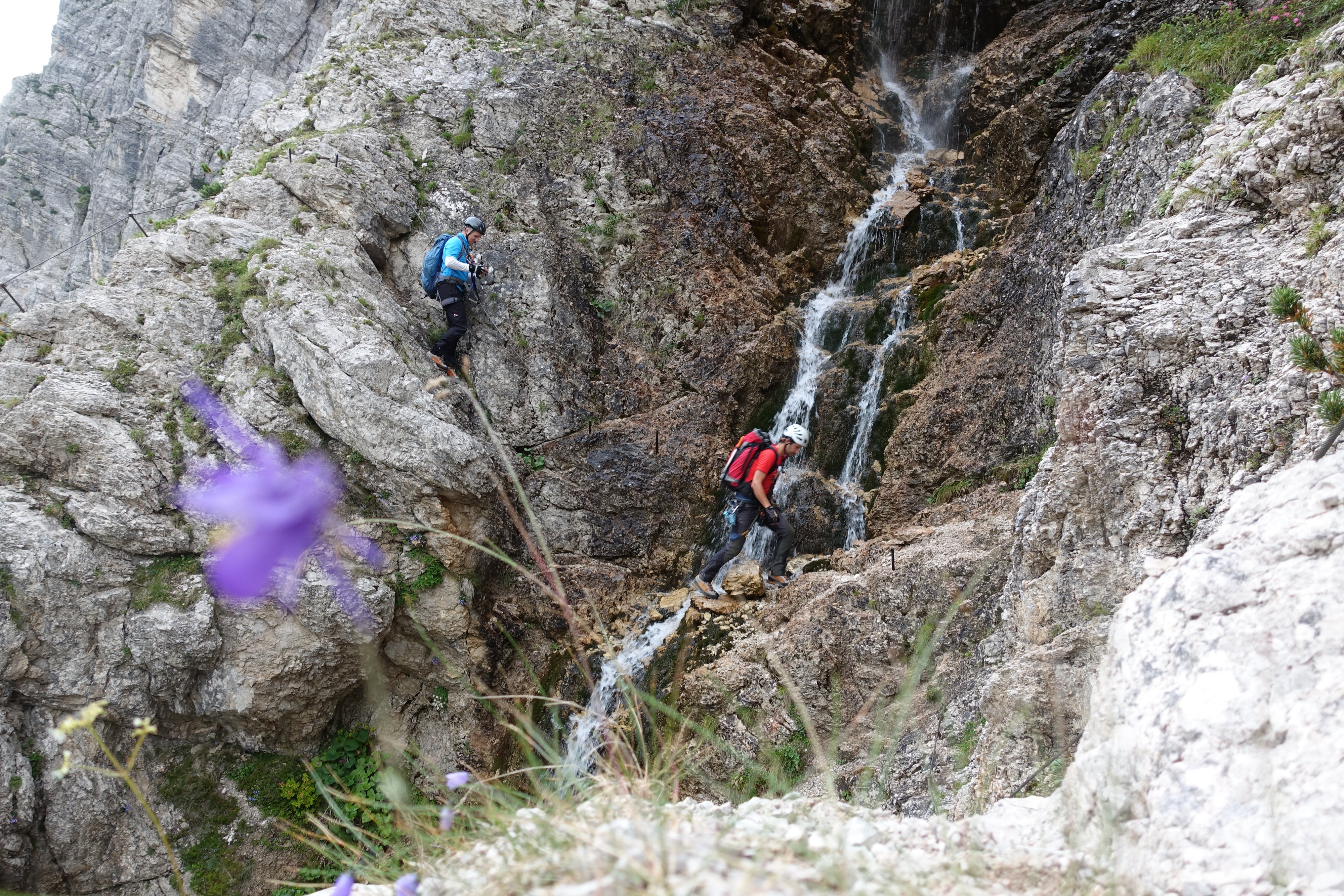
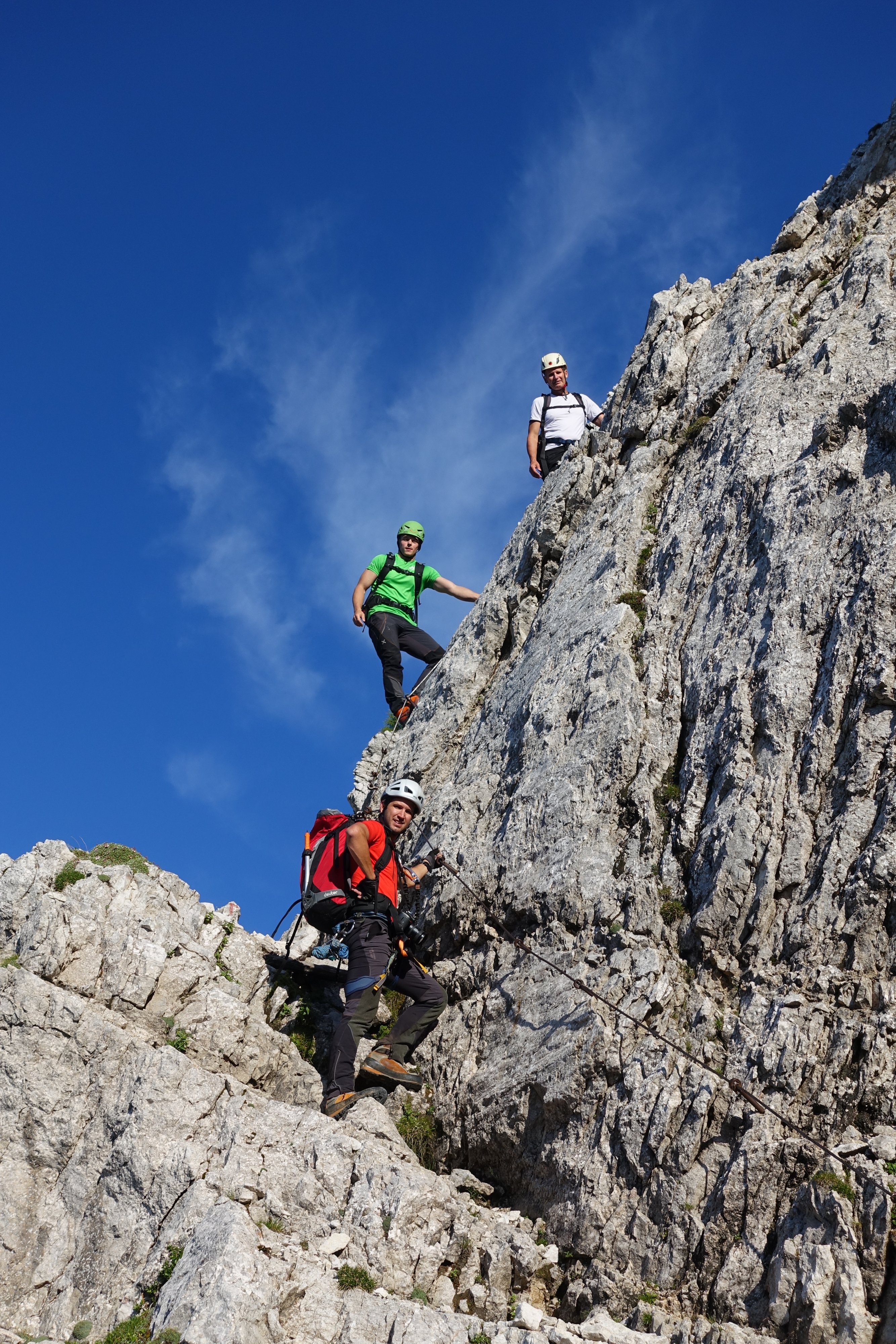
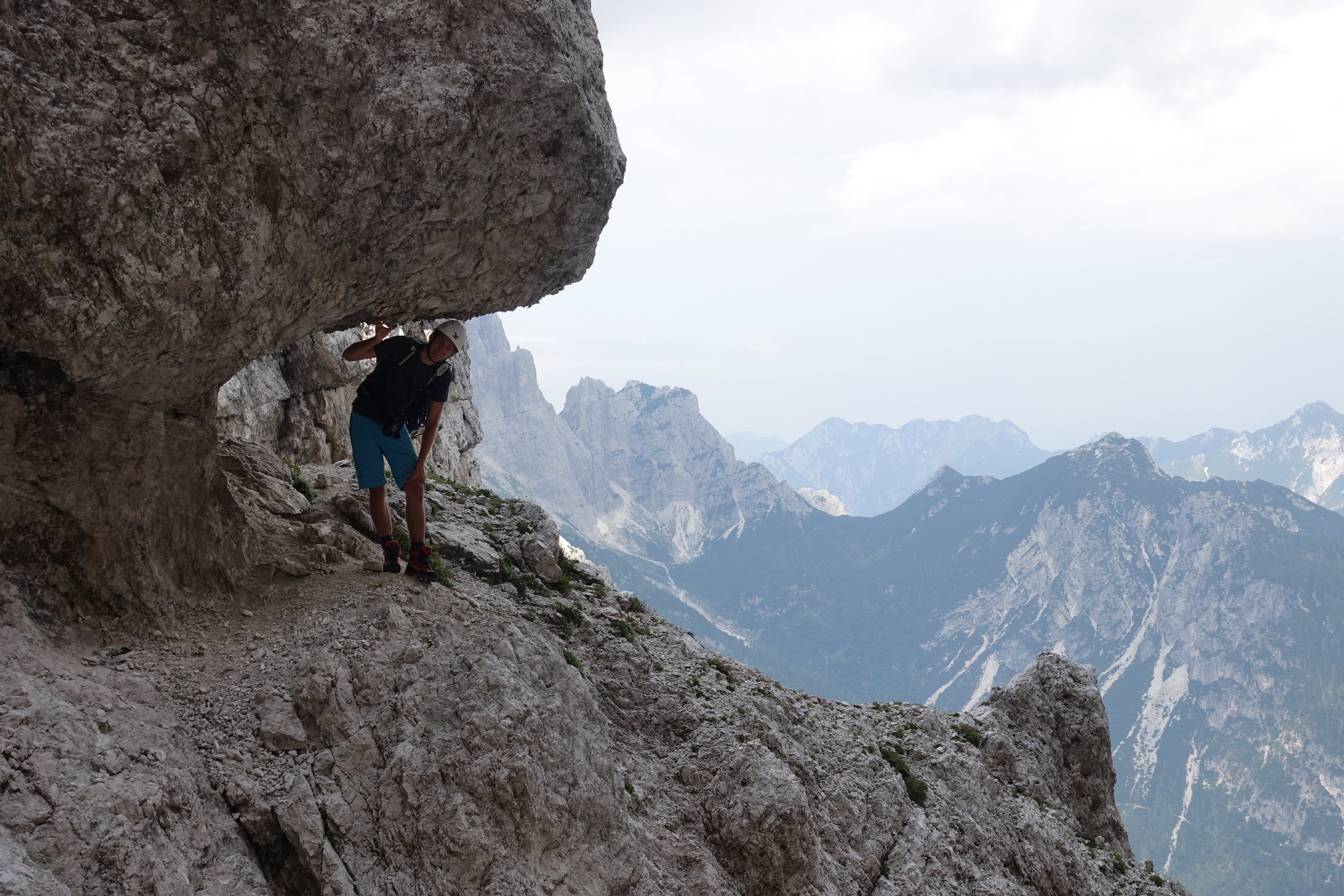
Aufstieg vom Vrsicpass über den schönen Klettersteig durch das Fenster und weiter über den Grat auf den Gipfel des Prisank.