Samstag, 18. März 2023
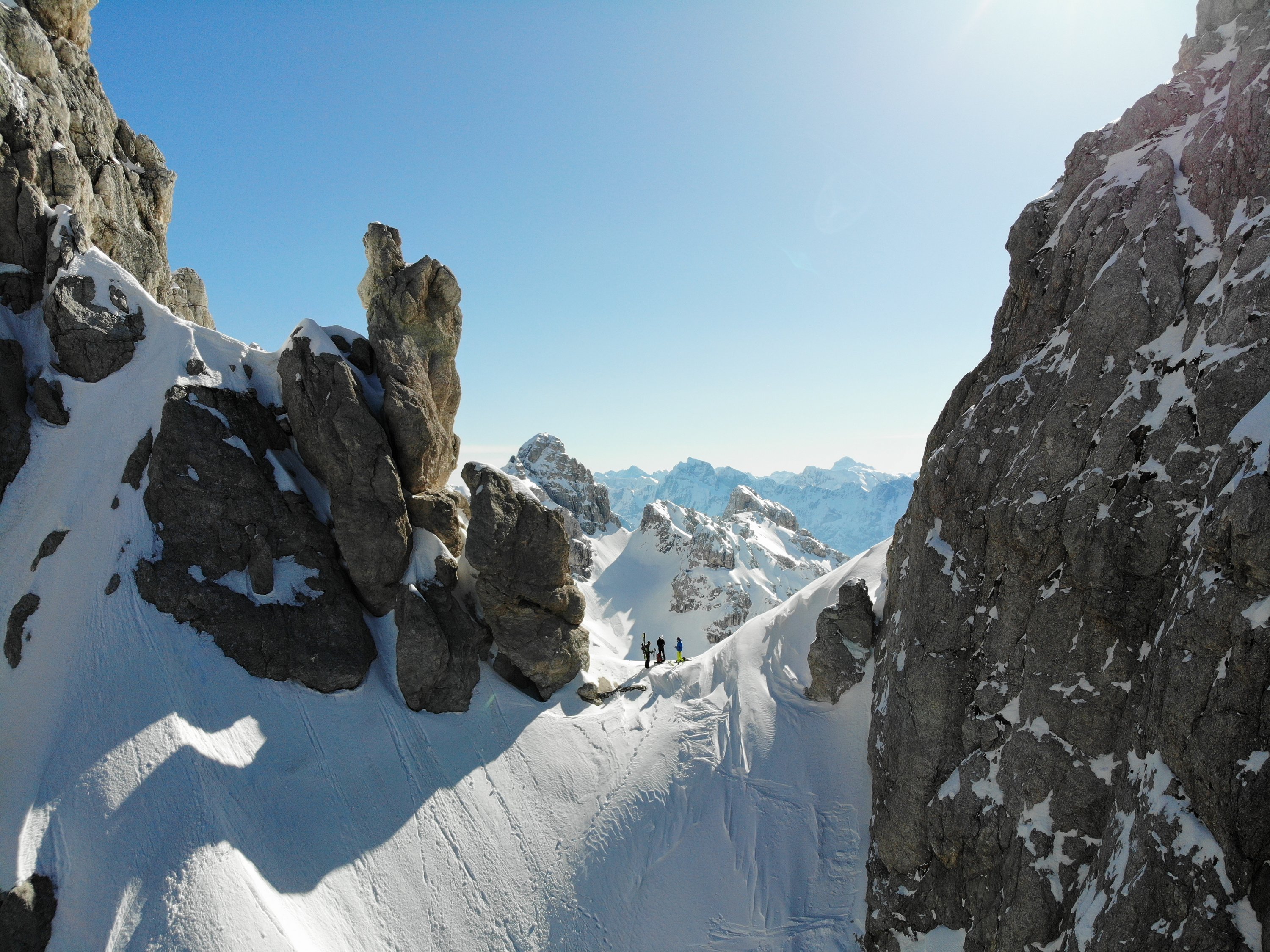
Ein lang gehegter Plan ist aufgegangen – wir haben die Forcella Lazzara östlich der Huda Paliza erkundet.